Showing posts with label transportation. Show all posts

Wednesday, October 3, 2012

All Aboard to Webster Groves

The Union Pacific Railway carved the path of St. Louis suburbs through the beautiful Midwest countryside. Leaders of St. Louis secured a Missouri charter in 1849 for the Pacific Railroad to extend "from St. Louis to the western boundary of Missouri and thence to the Pacific Ocean." The "ground breaking celebration" was held on the July 4, 1851.”  The railroad system was more than just transportation, it symbolized the American dream: commerce, land, and freedom. In 1851 the railroad began weaving westward from St. Louis, landing in the state capital Jefferson City by 1855. Among the way, the Webster Groves stop was built in 1853 along today’s Gore Avenue.


The new station was built to accommodate traffic for the Webster College for Boys, today’s Edgewood Children’s center, established by Reverend Artemus Bullard. The school attracted St. Louis businessmen as real estate investors and the area began to boom. As more commuters moved in to take advantage of the rail system, the neighborhood adapted to the needs of the community, establishing the Webster Groves Business District down Lockwood Avenue near the new station.

Now referred to as “Old Webster”, the streets thrive with unique restaurants and shops and serves as a popular attraction for the local community to spend afternoons perusing. 


Founded by those with a strong affinity for education, good location and a strong sense of community, Webster Groves has been reputed as an affluent St. Louis County suburb since it  became recognized by Congress in 1842. The Webster Groves School District, consistently rated among the best in the Missouri, and Webster University contribute strongly to the area’s promotion of education and are strong indicators of the thriving district. All of the original qualities which attracted newcomers over 160 years ago, still attract investors today.

Written by Ciara Brewer and Photographed by Rachel Broaddus on behalf of Monica Brewer

Wednesday, September 26, 2012

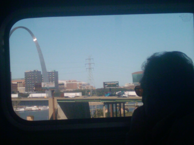
Show me the Land of Lincoln: The St. Louis-Chicago Amtrak


The Lincoln Service of the Amtrak, the route between Chicago to St. Louis, traverses 284 miles of the rolling hills of Southern Illinois: galloped by horses, nourished by farmland, and preserved by woodland. This rail service is in the midst of a several year project to make improvements to the route, and operate more high speed trains.

Several years behind Europe in increasing the efficiency of train transportation, particular areas of the route already have trains speeding along at 110 mph.  In an effort to move speeds up to 125 mph and reduce the commute between the two Midwest cities to approximately 3 hours, there is a Tier 1 Environmental Impact Statement (EIS) evaluation being conducted.


“The 16-month Tier 1 EIS will identify and evaluate improvements needed to accommodate higher speed (125 mph maximum) trains and additional daily round trips. Higher speed trains would reduce travel time, increase service reliability and enhance safety. The Tier 1 EIS is separate from the construction currently taking place along the corridor”

The EIS is a mandatory evaluation that considers the impact of the rail service on the natural environment, the impact on surrounding communities, and the archaeological record at stake. After careful examination, the EIS will purpose the best options for the project’s continuance to the Federal Railroad Administration and the project can move forward from there.

Originally hoping for the first trains to run in 2014, the expected dates are now pushing back to 2016 for the high speed rail service. These pioneering American efforts will forge the Midwest cities as top travel destinations for international visitors.


Written by Ciara Brewer on behalf of Monica Brewer